- [email protected]
- MON-SAT:8AM TO 9PM
 Sale!
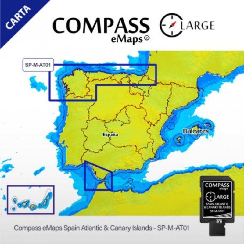
Sale! Cartography (Nautical Chart) // Atlantic, Mediterranean
$65.50
$130.99
Description of Cartography (Nautical Chart):
We present the Nautical Chart for the Atlantic and Mediterranean (Cartography Compass eMaps Spain Atlantic Canary Islands). This cartography will provide you with information and high-precision navigation aids along the entire coast. The most accurate cartographic information of the Galician Atlantic coast, the Cantabrian Sea to France, the Atlantic Sea (Spanish waters) and the Canary Islands.
You can also get hold of the coast of Huelva to the north of the province of Girona, passing through the Strait of Gibraltar and including the Balearic Islands . The entire Mediterranean coast of the Iberian Peninsula in a single chart.
Compatible with Lowrance, Simrad and BG brands.
Shipping Info
Standard Shipping
Cost: $25
Free Shipping
We offer free shipping on orders over $30. Please check the free - shipping eligibility at checkout.
Delivery Time:
It usually takes [3-5] business days for standard shipping. Please note that this is an estimated time frame and may be affected by local holidays, and unforeseen circumstances.
Related products
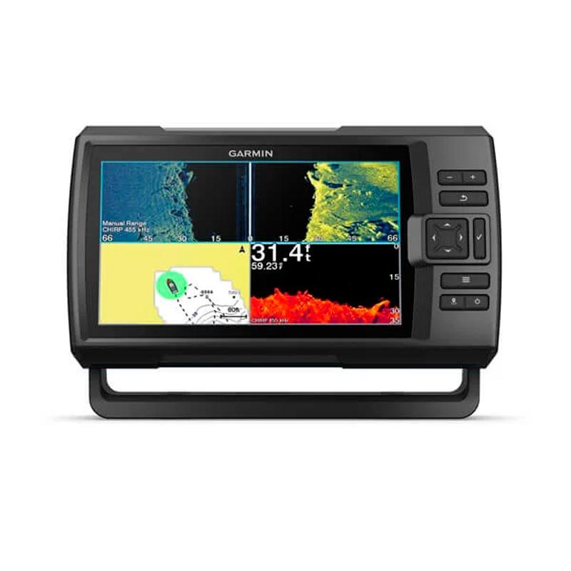
Garmin Striker Vivid 9sv, with GT52 transducer
$100.00
$733.99
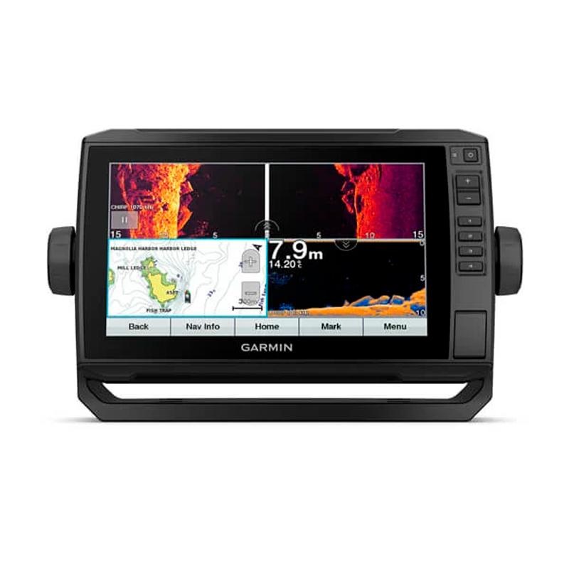
Garmin EchoMAP UHD 92sv with GT56UHD-TM xdcr transducer
$100.00
$1,567.99
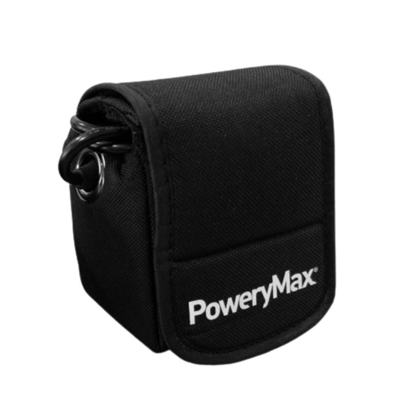
PoweryMax Lithium Battery // PX5, PX10, PX25 TX50
$49.00
$97.99

HOOK Reveal 7 with 83/200 HDI transducer & basemap
$98.00
$725.00
Reviews
There are no reviews yet.